Sommaire
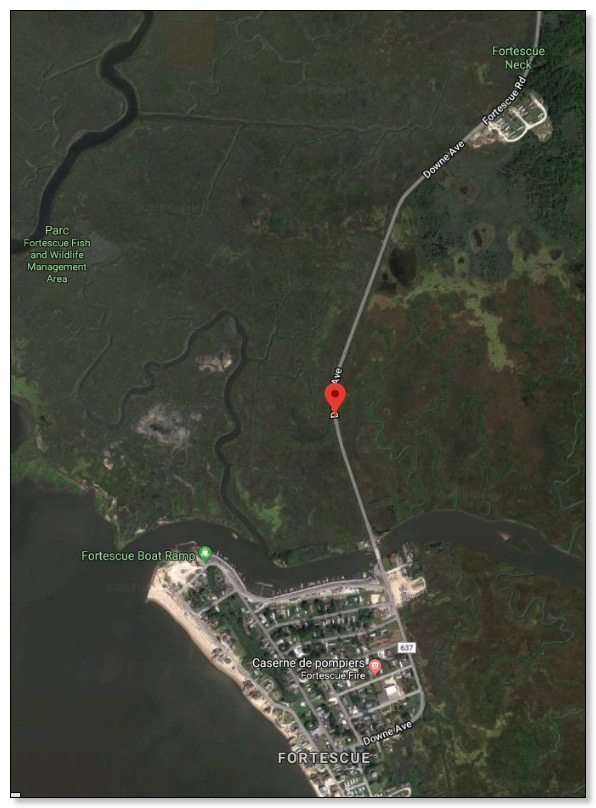
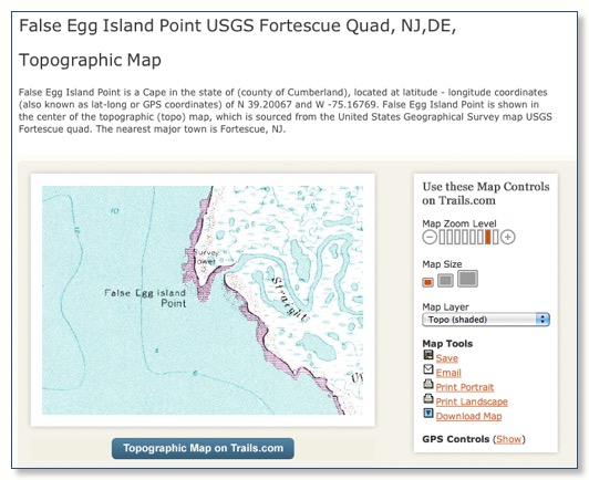
Fortescue Quad
USGS 7.5 minute (30 Meter) Digital Elevation Models (DEM's) of Fortescue quad
Metadata:
- Identification_Information
- Data_Quality_Information
- Spatial_Data_Organization_Information
- Spatial_Reference_Information
- Entity_and_Attribute_Information
- Distribution_Information
- Metadata_Reference_Information
Identification_Information:
Citation:
Citation_Information:
Originator: U.S. Geological Survey
Publication_Date: Unknown
Title: USGS 7.5 minute (30 Meter) Digital Elevation Models (DEM's) of Fortescue quad
Geospatial_Data_Presentation_Form: Map
Publication_Information:
Publication_Place: Reston, VA
Publisher: U.S. Geological Survey
Online_Linkage: <http://www.princeton.edu/~geolib/gis/njsdem.html>
Description:
Abstract:
Digital Elevation Model (DEM) is the terminology adopted by the USGS to describe terrain elevation data sets in a digital raster form. The standard DEM consists of a regular array of elevations cast on a designated coordinate projection system. The DEM data are stored as a series of profiles in which the spacing of the elevations along and between each profile is in regular whole number intervals. The normal orientation of data is by columns and rows. Each column contains a series of elevations ordered from south to north with the order of the columns from west to east. The DEM is formatted as one ASCII header record (A- record), followed by a series of profile records (B- records) each of which include a short B-record header followed by a series of ASCII integer elevations per each profile. The last physical record of the DEM is an accuracy record (C-record).
7.5-minute DEM (30- by 30-m data spacing, cast on Universal Transverse Mercator (UTM) projection). Provides coverage in 7.5- by 7.5-minute blocks. Each product provides the same coverage as a standard USGS 7.5-minute quadrangle without over edge.
Purpose:
DEM's can be used as source data for digital orthophotos, and, as layers in geographic information systems, for earth science analysis. DEM's can also serve as tools for volumetric analysis, for site location of towers, or for drainage basin delineation. These data were collected as part of the National Mapping Program.
...
Place_Keyword: US
Place_Keyword: New Jersey
Place_Keyword: Cumberland County
Place_Keyword: Burlington County
Place_Keyword: Fortescue quad
Place_Keyword: Fortescue topo
Place_Keyword: Fortescue
Access_Constraints: none
......
http://gisserver.princeton.edu/NJDEM/metadata/fortescu.htm
Generated by mp version 2.3.6 on Fri Jun 23 11:34:35 2000
http://www.topozone.com/map.asp?lon=-75.1676857&lat=39.2006695&datum=nad83

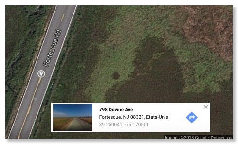
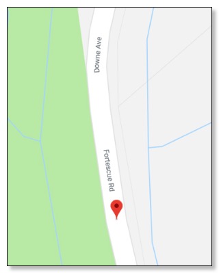
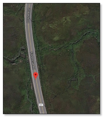
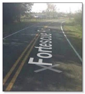
Fortescue Road
Fortescue road à NEWPORT
Glades Wildlife Refuge
Contact: Ken Lore, Preserve Manager
Phone: (609) 447-3425
Location:
• County: Cumberland, New Jersey
• Municipality: Downe Township
• Address: Our Glades Management Center is located at 261 Schoolhouse Road, Newport, NJ 08345.
• Driving Directions: From Cedarville, follow County Route 553 and signs for Newport. Turn right at Frame's Corner (Howie and Jo’s Country Store will be on the left-hand side of the road immediately before the turn) onto Baptist Road. Proceed into Newport, turning left onto Fortescue Road at the flashing light. Stay on Fortescue Road for approximately 1 mile to Schoolhouse Road. The Trust's Management Center is the first driveway on the right-hand side. If you wish to go the Glades Marina, do not turn onto Schoolhouse Road. Instead continue on Fortescue Road. The Glades Marina is located on the left-hand side (marked with conspicuous signage). Just before the bridge over the large creek into the town of Fortescue.
Total Preserve Acreage: 4,780
Profile of On-Site and Nearby Facilities:
• Parking: Parking for 10 vehicles is available at the Russell Farm trailhead along Fortescue Road
• Public Telephone: None
• Bathrooms: Available to organized groups by advance arrangement
• Indoor Facilities: None
•Trails: Trails are currently under development. The Russell Farm Trail is a maintained 1-mile trail that terminates at an observation tower. (Which affords excellent views over the salt marsh and other preserve-lands).
• Guidebooks: A guide to the preserve is available by calling (610)353-5587.
• Drinking Water: Available to organized groups by advance arrangement
• Picnic Areas: None
...
![]()

Fortesque Palace
Palace Le Fortesque
Palace Le Fortesque
Articles & General info: Palace le Fortesque (Doyl... Slack's Home Page) I live in San Jose, California with my SO, Kris- you may have come through her home ... 02/16/2000
Commercial site: http:/ / www.webb.net/ sites/ Palace_de_Fortesque/ doyle.htm (inactif)

